Attila Toth Speaks at Virtual 2020 National Flood Conference
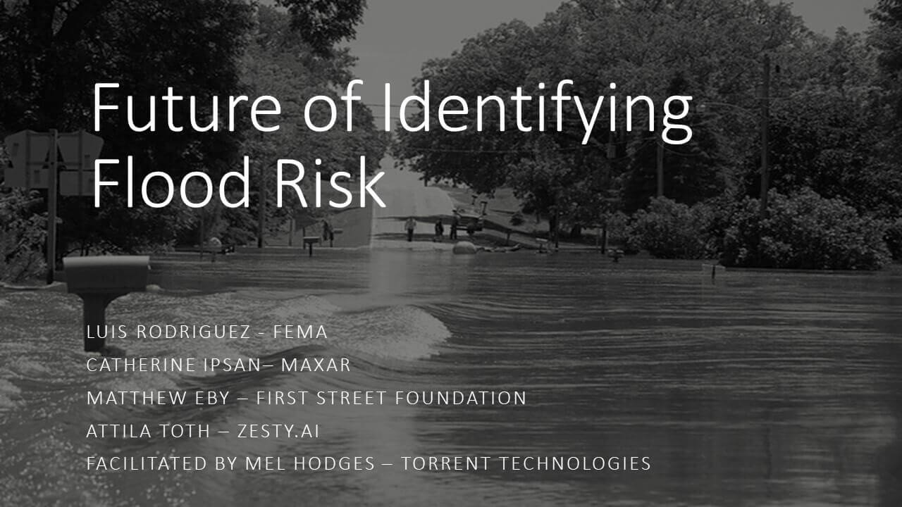
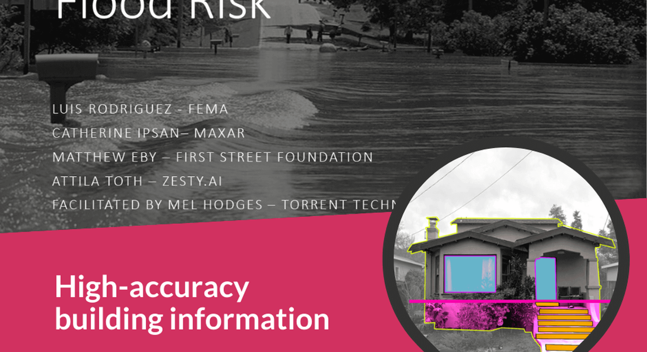
Attila Toth spoke about how AI, streetview, and aerial imagery can be used for measuring first floor elevation.


Yesterday, Attila Toth joined speakers from FEMA, Maxar Technologies, First Street Foundation, and Torrent Technologies to speak about the future of flood risk at the virtual 2020 National Flood Conference. Attila spoke about how AI, streetview, and aerial imagery can be used for measuring first floor elevation.
"Great discussion on the future of flood risk! If we can shift the largest flood conference online in a matter of weeks, we can also leverage technology to replace antiquated flood maps and costly Elevation Certificates. Thanks to my fellow panelists for pushing the envelope on flood risk impacting millions!" added Attila Toth via LinkedIn. His sentiment echoes the research of the World Economic Forum, which recently concluded that the COVID-19 pandemic has rapidly accelerated the digital transformation process in many sectors.

Thank you to the American Property Casualty Insurance Association, Reinsurance Association of America, and National Flood Insurance Program for an excellent virtual event. ZestyAI is looking forward to future virtual events while we await the return of in-person conferences.


